
Mt. Nyotaisan
女体山
Sanuki, Kagawa · Elevation 774 m
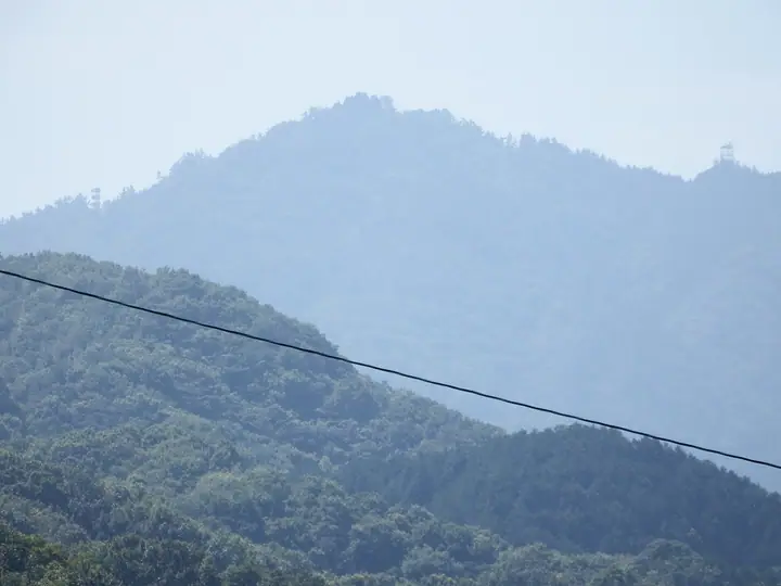
Nyotaisan is a 774-meter peak in the eastern Sanuki Range straddling Sanuki City and Higashikagawa City in Kagawa Prefecture. It rises directly north of Ōkubo-ji, the temple that marks the end of the Shikoku 88-Temple Pilgrimage, and the walking pilgrimage route crosses its summit, where the Nyotai-gū shrine stands. From the top there are sweeping views over the Sanuki Plain, the Seto Inland Sea, Shōdoshima, and Awaji-shima. It is listed among the 100 Famous Mountains of Shikoku.
Mt. Nyotaisan at a glance
- Weather: The most settled day in the next 7 days is Thu, November 5: cloudy, gusts up to 4 m/s. Fri, Nov 6: strong wind (gusts up to 15 m/s).
Mt. Nyotaisan weather (hourly, 14 days)
Sunrise today 06:24, sunset 17:10
| Tue, 11/3 | Wed, 11/4 | Thu, 11/5 | Fri, 11/6 | Sat, 11/7 | Sun, 11/8 | Mon, 11/9 | Tue, 11/10 | Wed, 11/11 | Thu, 11/12 | Fri, 11/13 | Sat, 11/14 | Sun, 11/15 | Mon, 11/16 | Tue, 11/17 | |||||||||||||||||||||||||||||||||||||||||||||||||||||||||||||||||||||||
|---|---|---|---|---|---|---|---|---|---|---|---|---|---|---|---|---|---|---|---|---|---|---|---|---|---|---|---|---|---|---|---|---|---|---|---|---|---|---|---|---|---|---|---|---|---|---|---|---|---|---|---|---|---|---|---|---|---|---|---|---|---|---|---|---|---|---|---|---|---|---|---|---|---|---|---|---|---|---|---|---|---|---|---|---|---|
| Japan time | 15 | 17 | 19 | 21 | 23 | 1 | 3 | 5 | 7 | 9 | 11 | 13 | 15 | 18 | 21 | 0 | 3 | 6 | 9 | 12 | 15 | 18 | 21 | 0 | 3 | 6 | 9 | 12 | 15 | 18 | 21 | 0 | 3 | 6 | 9 | 12 | 15 | 18 | 21 | 0 | 3 | 6 | 9 | 12 | 15 | 18 | 21 | 0 | 3 | 6 | 9 | 15 | 21 | 3 | 9 | 15 | 21 | 3 | 9 | 15 | 21 | 3 | 9 | 15 | 21 | 3 | 9 | 15 | 21 | 3 | 9 | 15 | 21 | 3 | 9 | 15 | 21 | 3 | 9 | 15 | 21 | 3 | 9 | 15 | |
 |   |   |   | | | | |   | | | | | | |   |   | |   | | |   | | | |  | | | | | | | | | | | | | | | | | | | | | | | | | | | |   | | | | | |   | |  | | | | | | | | | | | | | | | | |   | | |   | | | ||
| Temperature | °C | 15° | 12° | 10° | 11° | 11° | 11° | 10° | 10° | 10° | 12° | 13° | 12° | 13° | 11° | 11° | 10° | 10° | 11° | 12° | 15° | 18° | 13° | 13° | 12° | 14° | 11° | 14° | 16° | 15° | 12° | 9° | 7° | 7° | 6° | 8° | 10° | 11° | 7° | 5° | 3° | 3° | 3° | 9° | 12° | 11° | 8° | 8° | 6° | 6° | 7° | 11° | 14° | 7° | 6° | 10° | 12° | 7° | 5° | 7° | 9° | 4° | 2° | 8° | 11° | 6° | 5° | 10° | 11° | 5° | 0° | 9° | 12° | 5° | 3° | 12° | 15° | 11° | 12° | 13° | 15° | 9° | 6° | 7° | 10° |
| Precipitation | mm | 1.7 | 0.1 | 0.7 | 0.9 | 0.4 | 3.2 | 0.1 | 0.5 | 0.7 | 0.1 | ||||||||||||||||||||||||||||||||||||||||||||||||||||||||||||||||||||||||||
| New snow | cm | ||||||||||||||||||||||||||||||||||||||||||||||||||||||||||||||||||||||||||||||||||||
| Snow depth | cm | 0 | 0 | 0 | 0 | 0 | 0 | 0 | 0 | 0 | 0 | 0 | 0 | 0 | 0 | 0 | 0 | 0 | 0 | 0 | 0 | 0 | 0 | 0 | 0 | 0 | 0 | 0 | 0 | 0 | 0 | 0 | 0 | 0 | 0 | 0 | 0 | 0 | 0 | 0 | 0 | 0 | 0 | 0 | 0 | 0 | 0 | 0 | 0 | 0 | 0 | 0 | 0 | 0 | 0 | 0 | 0 | 0 | 0 | 0 | 0 | 0 | 0 | 0 | 0 | 0 | 0 | 0 | 0 | 0 | 0 | 0 | 0 | 0 | 0 | 0 | 0 | 0 | 0 | 0 | 0 | 0 | 0 | 0 | 0 |
| Wind | m/s | 2 | 1 | 1 | 2 | 1 | 2 | 2 | 1 | 2 | 3 | 3 | 2 | 1 | 1 | 2 | 1 | 1 | 2 | 0 | 1 | 1 | 1 | 2 | 2 | 5 | 4 | 5 | 6 | 6 | 4 | 5 | 4 | 4 | 4 | 6 | 5 | 4 | 2 | 2 | 2 | 2 | 2 | 2 | 2 | 2 | 0 | 2 | 1 | 1 | 2 | 3 | 3 | 2 | 3 | 4 | 5 | 4 | 5 | 5 | 4 | 1 | 2 | 2 | 3 | 3 | 3 | 3 | 4 | 1 | 1 | 0 | 2 | 1 | 1 | 1 | 1 | 0 | 3 | 4 | 6 | 3 | 2 | 2 | 3 |
| Wind gusts | m/s | 8 | 5 | 2 | 5 | 4 | 4 | 4 | 4 | 4 | 8 | 8 | 7 | 5 | 3 | 4 | 5 | 3 | 4 | 3 | 3 | 4 | 3 | 4 | 6 | 12 | 11 | 12 | 14 | 15 | 14 | 13 | 12 | 10 | 11 | 13 | 14 | 13 | 10 | 5 | 5 | 5 | 5 | 5 | 7 | 7 | 5 | 4 | 4 | 3 | 3 | 7 | 10 | 7 | 6 | 10 | 14 | 11 | 12 | 13 | 14 | 10 | 4 | 5 | 8 | 8 | 8 | 8 | 11 | 10 | 3 | 4 | 5 | 5 | 3 | 3 | 7 | 6 | 8 | 11 | 13 | 14 | 7 | 6 | 7 |
| Wind dir. | ↓ | ↓ | ↓ | ↓ | ↓ | ↓ | ↓ | ↓ | ↓ | ↓ | ↓ | ↓ | ↓ | ↓ | ↓ | ↓ | ↓ | ↓ | ↓ | ↓ | ↓ | ↓ | ↓ | ↓ | ↓ | ↓ | ↓ | ↓ | ↓ | ↓ | ↓ | ↓ | ↓ | ↓ | ↓ | ↓ | ↓ | ↓ | ↓ | ↓ | ↓ | ↓ | ↓ | ↓ | ↓ | ↓ | ↓ | ↓ | ↓ | ↓ | ↓ | ↓ | ↓ | ↓ | ↓ | ↓ | ↓ | ↓ | ↓ | ↓ | ↓ | ↓ | ↓ | ↓ | ↓ | ↓ | ↓ | ↓ | ↓ | ↓ | ↓ | ↓ | ↓ | ↓ | ↓ | ↓ | ↓ | ↓ | ↓ | ↓ | ↓ | ↓ | ↓ | ↓ | |
Huts, campsites and lodging near Mt. Nyotaisan
Lodging
- Minshuku Yasokubo
Lists that include Mt. Nyotaisan
Mt. Nyotaisan facts
- Elevation
- 774 m
- Location
- Sanuki, Kagawa
34.197565, 134.201383 - Website
- www.pref.kagawa.lg.jp
- Trail Map
- www.pref.kagawa.lg.jp (PDF)
- Wikipedia
- ja.wikipedia.org